Manitoba Electoral Divisions Boundaries Commission
The Project
Every 10 years a Commission convenes to assess the provincial electoral divisions and ensure all Manitobans voters are fairly represented. The Boundaries Commission is a tool that helps Manitobans to learn about and participate in the process. Which in turn helps the Commission better appraise voters needs.

Interactive Map
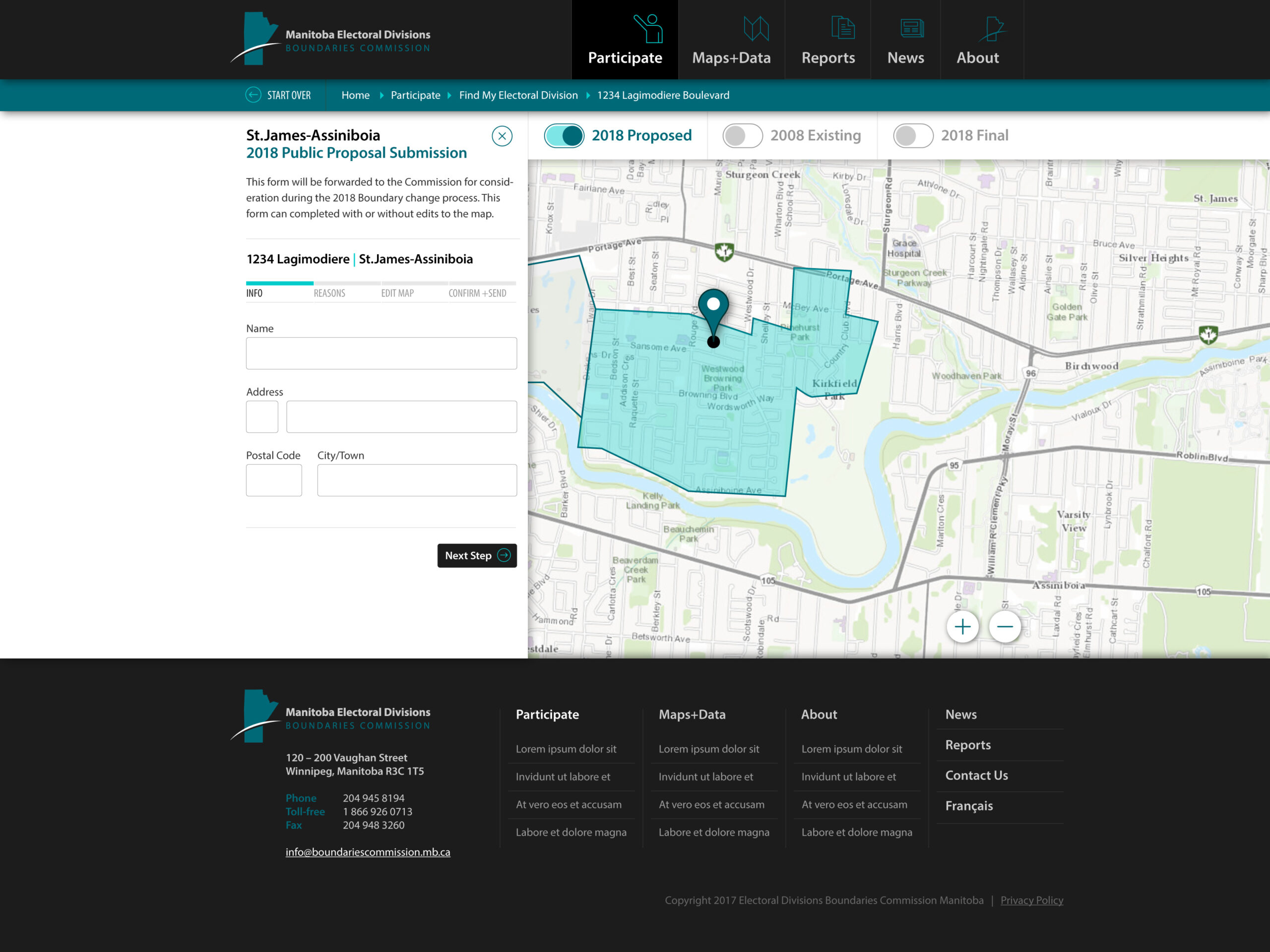
An interactive map developed with open source libraries Leaflet and PhantomJS allows Manitobans to find their own electoral boundaries, propose changes and even draw their own boundaries. The map also ties in with ArcGis, giving people access to boundary and population data to make more informed decisions on their proposed changes. And of course, it’s designed to work mobile or desktop.
Advanced Registration
In person and online
A public hearing registration section allows the Commission to post dates and locations of public hearings for anyone to view and attend. This allows attendees to find the nearest upcoming event, and, for those who want to present changes in person, register in advance. The process helps the Commission organize public hearings and ensure people the opportunity to discuss in person. After the hearing a live audio recording of the event is also made available for anyone to download or listen to online.
Public submissions with auto generated PDFs
All submissions are available for anyone to review. With automatic PDF generated documents make it easier then ever for the public or the Commission to download and/or print submissions to review.
